

Colorado River water loss from 1985-2010
This animated GIF begins with a NASA Earth Observatory satellite image from 1985 and morphs into a shot from the same position in 2010. The difference in water along the Colorado River just east of Lake Mead and the Hoover Dam over 25 years is stark.

As featured on
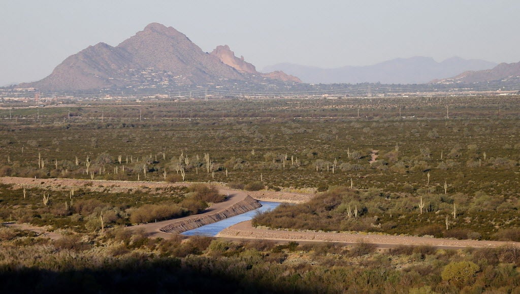
The April-July forecast for Colorado River runoff into Lake Powell is 74 percent of average.

