

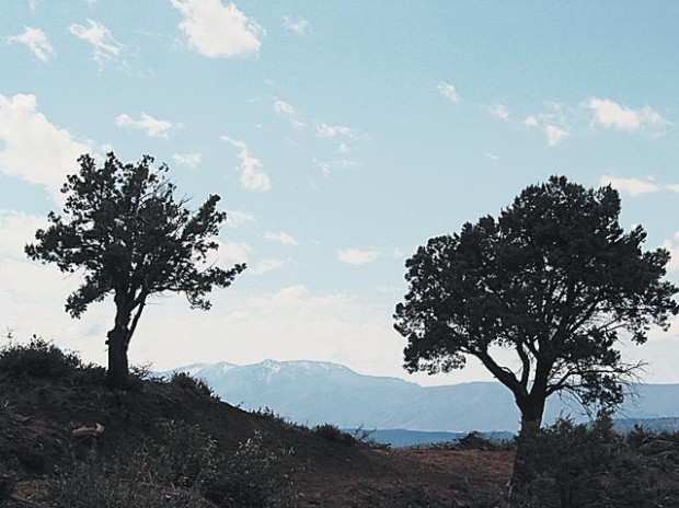
PINE — Warbling mountain birds waft sweet avian melodies into cool morning air along the Pine Canyon Trail.
The bird-song soundtrack provides a pleasing audio backdrop for a hike on the eight-mile trail, which climbs from a trailhead near Pine to the heights of the verdant Mogollon Rim in central Arizona.
It's a good route for a spring or summer trek — with a mix of pine-shaded canyon country, open ridge lines and lush mountain springs. Trail log
Expect to climb from an altitude of 5,000 feet at a lower trailhead to 7,200 feet at an upper trailhead. A sign at the lower trailhead says the one-way distance is seven miles, but U.S. Forest Service Web sites list the trail length as eight miles. Sights to savor
• Along with the trail's namesake pine trees, watch for other conifers, maples, alders and oaks in the forest.
People are also reading…
• About two miles into the hike from the lower trailhead, you'll come to Dripping Springs, where water issuing from the earth forms a small pool. Be sure to filter or treat water from the pool before drinking it. Get to the trailheads
From Tucson, take Interstate 10 to Phoenix and continue on Arizona 87 to Payson. Follow Arizona 87 to the lower trailhead, which is past milepost 266 just before you enter Pine.
To reach the upper trailhead, continue past Pine and Strawberry on Arizona 87 to a road on the south side of the highway between mileposts 279 and 280. Follow the road about 0.1 of a mile to the signed trailhead.