Bug Spring Trail
You’ve got options when it comes to a training hike on the Bug Spring Trail.
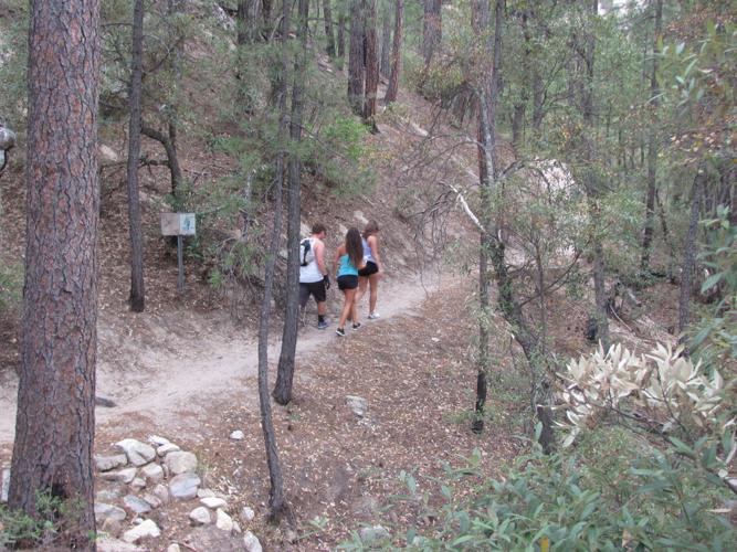
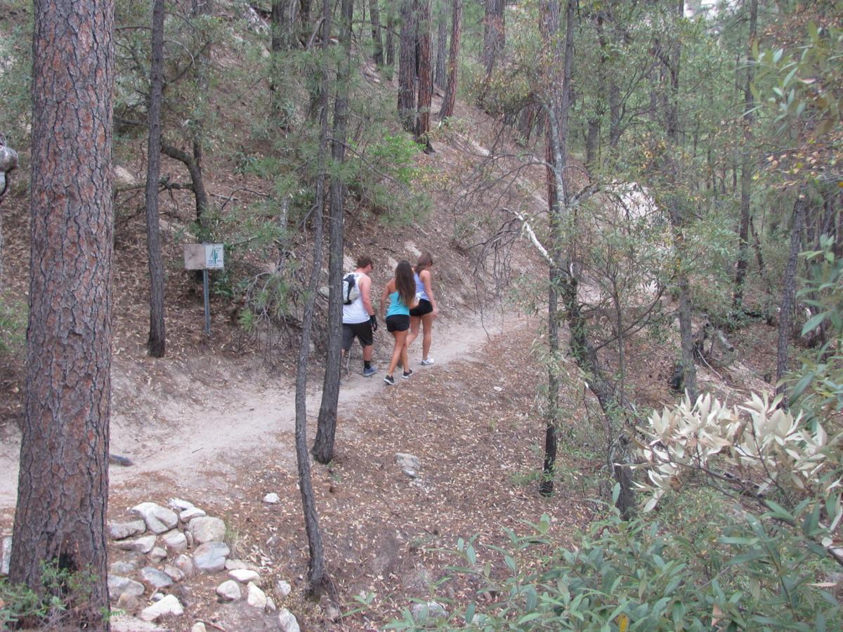
The 4.6-mile route connects two trailheads along the Catalina Highway — a lower one between mile markers 7 and 8 and an upper one between markers 11 and 12.

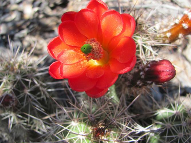
A cactus blooms at an altitude of about 7,000 feet on the Bug Spring Trail. You’ll find juniper-and-pine woodlands in the upper elevations.
An out-and-back trek from the lower trailhead totals 9.2 miles and entails about 1,300 feet of elevation gain — passing over a high point of well over 6,000 feet along the way. Scenery includes grassy, high-desert landscapes in the lower reaches and juniper-and-pine woodlands in the upper elevations.
If you have limited time and still want to get in some solid trail training, consider this option: Begin from the upper trailhead and do one, two or more “laps” up and down the first impressively steep stretch of trail.
People are also reading…
The trail segment — which climbs less than a mile to a high ridge where the trail begins its descent toward the lower trailhead — favors a straight-up approach with a minimal number of switchbacks. Zip up it. Descend. Repeat. Your legs and lungs will know you’re getting a good workout.