Aspen Draw Trail
This route is only about two miles long, but it climbs slopes at altitudes between 8,000 and 9,000 feet — making it an excellent place to prepare for high-altitude hikes elsewhere.
It provides a good up-and-back training trek with options for adding mileage.
Some of us have hiked the trail up and down twice in succession to build fitness. Other possibilities include linking with the similarly named Aspen Trail near the top of the route and following that trail for a mile or more before reversing your course.
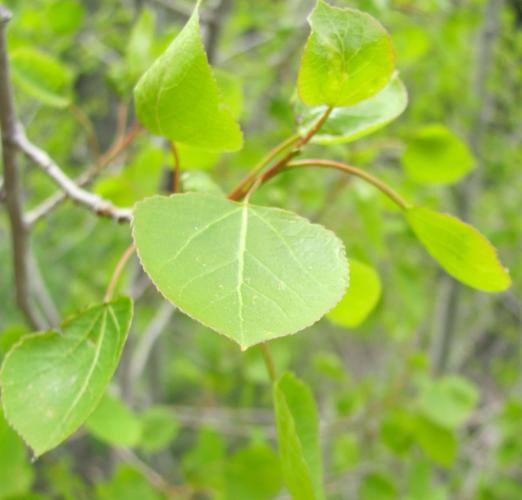
An added benefit: The Aspen Draw Trail ascends through beautiful woodlands of pine, fir and aspen with ferns, wildflowers and mushrooms flanking the path in the late spring and summer.
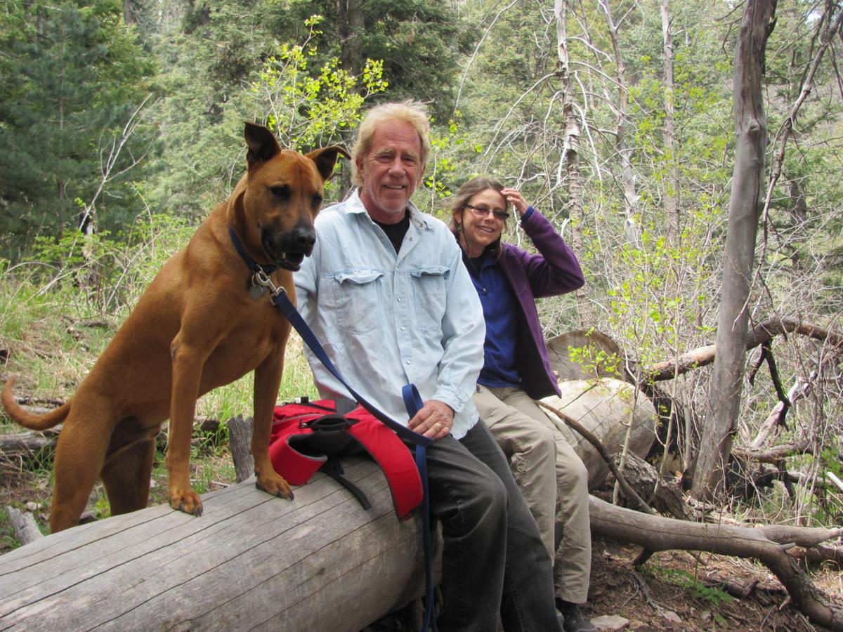
“It was a good workout going up there,” said Tucson musician John Coinman as he and his wife, Jo Andersen, descended the trail with their dog named Bill Brown. “We’re not used to the (altitude). We’re used to desert hiking.”
People are also reading…

New growths of aspen trees along the Aspen Draw Trail. You’ll find ferns, wildflowers and mushrooms lining the path this time of year.
Said Andersen: “It’s a great trail. Beautiful.”
To reach the trail, take Tanque Verde Road to the Catalina Highway and follow the highway past Milepost 24 to a turnoff for Mount Lemmon Ski Valley. Continue to Ski Valley and park. Then walk about 20 yards down the south side of the highway from the ski area parking lot and watch for a trail leading downhill. Follow it for 0.2 of a mile down the side of the hill and across a small watercourse to the signed start of the Aspen Draw Trail.