A wet summer monsoon for Tucson still looks iffy.
But Tucsonans hoping for a wet winter might be in luck, according to the latest El Niño predictions.
For summer, there's a slight tilt towards above-average precipitation, said Glenn Lader, a National Weather Service meteorologist in Tucson. However, it’s tough to predict how a strong El Niño might impact the monsoon in Tucson, especially given the disparity even within the city area.
“The correlations are a little weaker,” Lader said. “It’s a little bit hard to say, and seasonal forecasting for the monsoon is obviously tricky because the monsoon is fickle. At least we're hopeful going into it, with the odds tilting slightly above normal.”
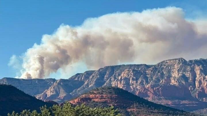
Tucson's monsoon season stretches from June 15 through Sept. 30. During last year's monsoon, Tucson saw 2.82 inches of total rainfall, coming in at just under half of the normal Tucson monsoon rainfall for 1991 through 2020.
People are also reading…
Meanwhile, there's a high probability of a strong or very strong El Niño for 2026 through 2027, a recent forecast from the National Oceanic and Atmospheric Administration indicated.
Forecasters predict a 40% chance of a moderate to very strong El Niño emerging during June through August. For November through January, that increases to 89%, with a 37% chance of a very strong El Niño.

While predicting the strength of Tucson's summer monsoon is still up in the air, a ‘super’ El Niño could make for a wetter-than-usual winter here, forecasts show.
“All indications are that El Niño is going to be ramping up,” Lader said. “And in terms of strength, the latest probability forecasts are indicating that there is about a two out of three chance that we're going to be seeing strong El Niño by the time late fall and winter comes around.”
Marked by higher temperatures in the Pacific Ocean, the El Niño climate pattern causes the Pacific jet stream to move south of its regular position, leading to a drier and warmer winter for the northern U.S. and Canada. The southeastern U.S. and the Gulf Coast area, on the other hand, faces a wetter winter with increased flooding.
El Niño strength is measured by how far above average the sea surface temperatures are. Very strong is classified as an average greater than two degrees Celsius above normal, strong is between 1.5 and two, moderate is between one and 1.5 and weak rests between 0.5 and one.
While the pattern regularly occurs every two to seven years, this coming one shows signs of possibly being stronger than normal, according to NOAA reports.
Since 1950, there have only been four El Niños that reached into the very strong category.
“They don’t all act the same way, but, in terms of atmospheric response, the strong or moderate to strong or very strong El Ninos tend to have a very strong jet stream kind of going across the southern U.S., and that does favor active cool season, meaning winter precipitation for us,” Lader said.
He noted, however, that while higher precipitation will be more likely going into winter, it doesn’t always pan out that way. Tucson could also feel the impact earlier in the fall stemming from the tropical cyclones.
“Even if a hurricane or tropical storm itself stays well to our south, it could draw up abundant tropical moisture into our neck of the woods in Southern Arizona,” he said. “When that happens, we see greater weather impacts from thunderstorms, flash flooding and whatnot. That's something we're certainly going to be watching. But particularly, later in the monsoon — August, September time frame — would be the most likely time that we would be potentially seeing something like that."