


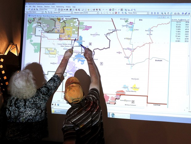
TEMPE - The Independent Redistricting Commission voted Monday to set up the state's nine congressional districts in a way that creates two far-flung rural districts and divides the Tucson metro area into three pieces.
The plan given preliminary approval would divide Tucson roughly along Campbell Avenue. Everything to the west - including Tucson International Airport, Picture Rocks and Avra Valley - would be in a district that runs all the way to Yuma. That district also would take in all of Santa Cruz County.
Statistics on voting patterns, party registration and minority population suggest it should be a district safe for a Hispanic candidate, and a Democrat in particular. The area is currently represented by Raúl Grijalva. It restores some midtown areas to Grijalva's district that had been excluded in a version presented in Tucson last week, as well as unifying Santa Cruz County in his district.
People are also reading…
The district to the east takes in most of Cochise County, taking in all the major communities and about 93 percent of the population. This district, most of which fits within the area now represented by Democrat Gabrielle Giffords, would remain very competitive, with the number of Republicans and Democrats within 4 percent of each other. The previous map took Cochise County out of her district.
But the northern edge of Pima County, including Tortolita, Marana and Oro Valley, would be pushed into a sprawling district that would include the balance of Cochise County, much of Pinal County and run through Flagstaff all the way to the Utah line.
This district, too, has voter registration numbers that should make it a toss-up. That means first-term Republican Rep. Paul Gosar, who took the seat from Democrat Ann Kirkpatrick, could find himself again in a competitive general election contest. Kirkpatrick already has announced she wants to try to regain her seat.
Overall, three of the nine districts would be considered competitive, with two heavily weighted toward Democrats - the one occupied by Grijalva and the other in south and west Phoenix - and four where, from voting pattern and registration figures, the Republicans should have an edge.
The vote for this map, which now goes out for public comment, was 3-1. Colleen Mathis, a registered independent who chairs the panel, voted with the two Democrats.
Republican Richard Stertz refused to go along, saying he thinks the process was rushed.
"We saw the map for the first time this morning," he said.
Stertz said the law requires commissioners to consider various issues when drawing lines, ranging from protecting minority voting strength to trying to make as many politically competitive districts as possible. About the only data he had to work with Monday, he said, was that each of the nine districts is roughly equal in population, as required.
Republican Scott Freeman abstained, saying he needs more information.
Democrat Linda McNulty pointed out these are only drafts. She said further changes are possible after public hearings.
The commission is made up of two Democrats and two Republicans appointed by each party's top legislative leaders, and is chaired by an independent those four select.
By law, commissioners cannot consider where current federal and state lawmakers live. But as it turns out, none of the eight existing members of Congress find themselves in a district with another incumbent.
A new ninth district awarded to the state because of its population growth was carved out of parts of Scottsdale and northeast Phoenix. That district leans Republican.
The two "majority-minority" districts have to be preserved because the federal Voting Rights Act, which precludes states from enacting any changes in election laws that dilute minority voting strength. Commissioners are still crafting new lines for the state's 30 legislative districts, which also need to be redrawn because the 2010 census showed not all areas of the state grew at the same rate.
On StarNet: Go to azstarnet.com/ news/local/govt-and-politics to read more about local and state government and political news.
On the net
To see the latest version of the Independent Redistricting Commission's congressional district maps, go to www.azredistricting.org/Maps/default.asp Scroll down to "Congressional Map as of 10/02/11" and select the format in which you would like to view the map.


