
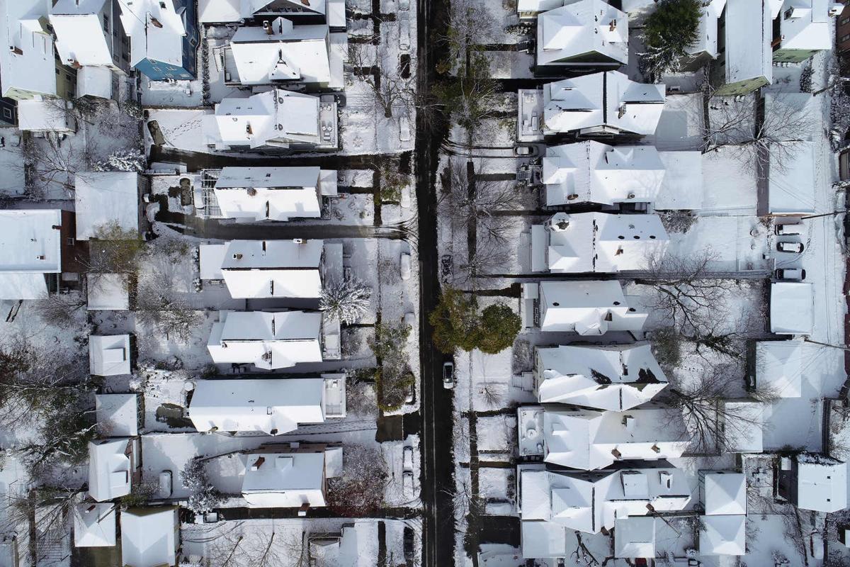
Ice. Wind. Lake-effect snow. Lakeshore flooding. Subfreezing temperatures. Blizzard conditions. Possible widespread power outages.
Get ready.
A winter storm that the meteorologists with the National Weather Service are calling a "once-in-a-generation event" is headed toward Western New York, just in time for the holidays.
Forecasters are warning anyone planning on traveling to do it soon – before Friday, when the storm begins to pound the region. It is not expected to let up until Sunday, Christmas Day.
"Old Man Winter will unleash the full fury of winter upon our region during this period," the weather service said in a forecast update Wednesday morning. It is part of the same massive storm causing havoc across a great swath of the country and potentially impacting travel plans for millions this holiday.
People are also reading…
Get any last-minute shopping done today and Thursday and plan on hunkering down through the weekend, meteorologist Dan Kelly said.
"It's going to be treacherous," he added.
Here's a look at the forecast for the storm:
Thursday
It is going to be rainy and mild, with highs in the low 40s. The wind will start to pick up, with gusts as high as 29 mph. The rain will continue through the night.
Friday
The weather will change rapidly Friday as a bitter cold front sweeps into the area – turning the rain into snow – and very strong, potentially dangerous winds kick up.
It will all start out quite calmly.
"When you wake up, the temperature will be around 41," Kelly said. "By lunchtime, you're down to 24. And then down into the teens by Friday evening."
The rapid drop in temperature is expected to cause a flash freeze. That means anything that got wet from the rain will turn to ice – think roads, sidewalks, tree limbs and power lines.
Winds will rapidly grow stronger through the day, switching directions from the southeast to the southwest by the afternoon, with sustained winds of 28 to 38 mph, and gusts as high as 55 mph. The weather service is forecasting that winds in Buffalo, the Northtowns and Niagara County pose an "extreme" threat risk.
The snow, which will start out as a widespread "synoptic" snow, will transition into lake effect.
Meteorologists can't yet pinpoint exactly where the lake-effect band will set up and how intense it will be. It appears it will be over the Buffalo metro area, including the City of Buffalo and the Northtowns, and extending northeast into Niagara County. It will possibly meander north and south during the day.
But with the winds blowing around, the location of the band and even the intensity of the snowfall won't matter, explained meteorologist Heather Kenyon.
"With the strong winds, we're really expecting that the main impact will be the blowing and drifting snow. It might not be adding up like recent lake-effect events we've had. But visibility is going to be near zero, even if you're not in the heart of the band. That's why we have the winter storm watch for all of Western New York."
Forecasters have already issued a lakeshore flood warning.
The winds will push the water from the western part of the lake to the eastern part of the lake, a phenomenon called a "seiche." That could raise the water level to 11 feet, 3 inches above flood stage along Lake Erie and Upper Niagara River.
Areas that could be affected include: Route 5 in Hamburg, Buffalo Harbor and Canalside, Dunkirk Harbor, Grand Island and Cayuga Island.
High waves and freezing spray are also expected.
Heavy snow and strong winds that could gust up to 65 mph are expected through the night, causing blizzard-like conditions.
With winds this strong, it is possible that power lines and trees could fall, and that could cause widespread power outages. That's especially concerning because it will be cold, with lows in the low teens in Buffalo and single digits in higher elevations, with wind chills in the minus 10 to minus 20 range.
Saturday
The winds will diminish somewhat, but they'll still be blowing strong, with gusts up to 45 mph, and more heavy lake-effect snow is expected.
A more localized band of lake-effect snow is forecast to set up.
"There's uncertainty with the placement," Kenyon said. "Overall, the trend does look like it will travel north down south slowly through the weekend. The speed of it – it's still uncertain."
The more localized band could also mean more significant accumulation of snow.
The temperatures will remain below the freezing mark, with highs around 20 and lows in the teens.
Expect overnight gusts as high as 30 to 40 mph.
Sunday
The winds will continue to diminish, but won't be done.
Blowing snow is likely, with lake-effect snow still in the area, likely over the Southtowns.
That will continue through the night.
Monday
There will still be some blowing snow, but conditions should be less intense.
Closings
Many stores and offices are likely to be closed Friday and Saturday. In anticipation of the storm, Buffalo Mayor Byron W. Brown has announced a series of changes and closings for Friday.
There will be no garbage and recycling pickup in the city on Friday, and residents are asked not to put their totes out Thursday evening. Pickup will be on Monday. All other pickups next week will be delayed a day, through Saturday.
All four of the city's waterfront parks – Broderick Park, Bird Island Pier, Ralph Wilson Centennial Park (LaSalle Park) and Erie Basin Marina – will close beginning at 3 p.m. Thursday to pedestrians, bicyclists and motorists.
The city's two indoor pools, Cazenovia and Lovejoy, also will be closed Friday.
Mayor Brown reminded city residents to sign up for BUFFALERT to stay informed of emergencies by texting their Zip Code to 38276.
Bishop Michael W. Fisher issued a message to Catholics in the Diocese of Buffalo on Wednesday advising them to check with their parishes before venturing out to Mass during the holiday weekend storm.
"We have communicated to our pastors to implement their livestreaming capabilities in their churches if so equipped," Bishop Fisher wrote. "Viewing livestreamed Masses may be an option for those parishioners who may not feel comfortable attending Mass this weekend in light of the challenging weather forecast."
He advised parishioners to visit their parish websites or the Diocesan website at buffalodiocese.org/livestreams to see which services can be attended virtually.
Because of varying weather conditions throughout the eight-county diocese, the bishop noted, parishioners also should check their parish website for any changes in the Christmas Mass schedule.