

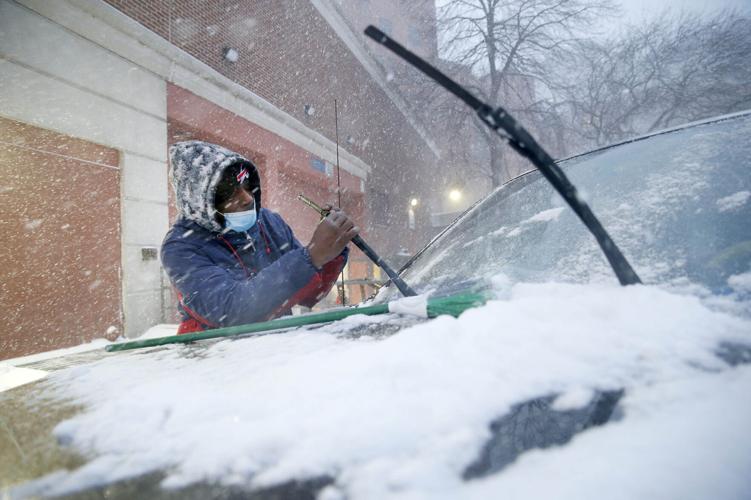
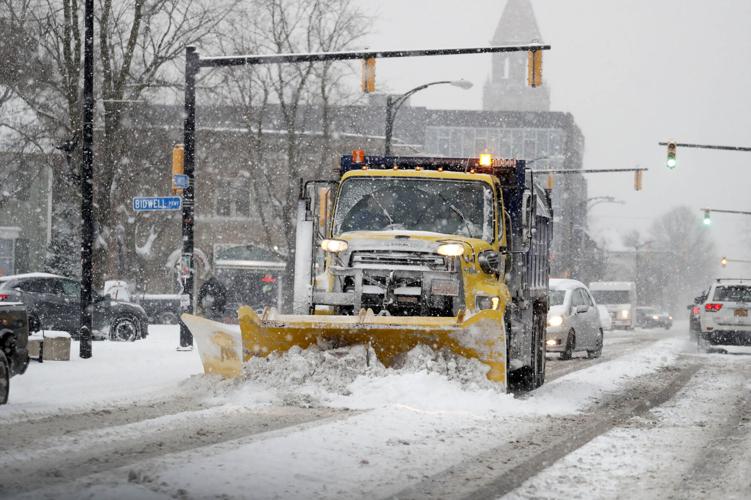
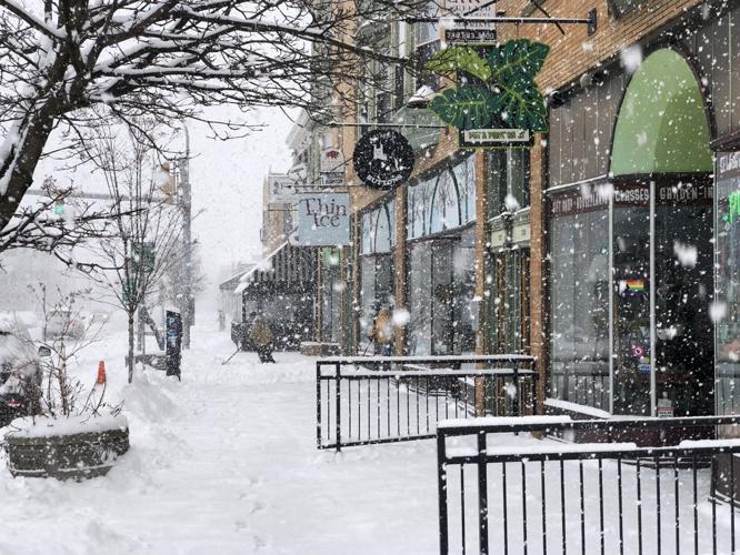
As Buffalo and the eastern suburbs continue to dig out today, a winter weather advisory remains in effect for southern Erie County and a lake snow warning is in effect in Chautauqua and Cattaraugus counties, both until 7 a.m. Saturday. The lake snow warning for all of Erie County expired at 1 a.m. today, but additional accumulations of 4 to 7 inches are expected in the most persistent lake snows in southern Erie County.
Several bands of lake-effect snow are affecting parts of Chautauqua and Cattaraugus counties, while lake-effect snow to the east and north of Buffalo is expected to diminish.
Snow totals reached their highest Friday in Cheektowaga at the Buffalo Niagara International Airport, which saw 18.2 inches, with 16.6 inches recorded at Depew. In Buffalo, 17 inches of snow was reported.
Here's a look at what to expect:
People are also reading…
Friday: There is a continued chance of snow showers today. The forecast calls for a mostly cloudy day, with a high temperature near 24 degrees. Winds will be westerly, at 6 to 14 mph. Less than half an inch of new snow accumulation is possible in Buffalo.
Heavy snow will fall in relatively narrow bands in the Southern Tier counties. The National Weather Service advises motorists to be prepared for rapidly changing road conditions and visibilities in Chautauqua and Cattaraugus counties.
The bands of snow to the south are going to continue pretty much through tonight, said National Weather Service meteorologist Steve Welch, while the bands over the Niagara Frontier should break up as the wind changes.
Heavy lake effect snow in Chautauqua and Cattaraugus counties will drop total accumulations of 8 to 14 inches in the most persistent lake snows. Winds will be gusting as high as 35 mph, according to the weather service.
Friday night: Partly cloudy skies are forecast for Friday night, with a low around 10. Northwest winds at 6 to 11 mph are expected and will become lighter and variable after midnight.
Saturday: Saturday will be sunny, with a high near 34, and southerly winds at 5 to 9 mph.
Saturday night: There's a chance of snow and sleet between 11 p.m. and 1 a.m. Sunday, then rain is likely. Little accumulation is expected, and the low will be around 28.


